Burundi Gallery


Geography
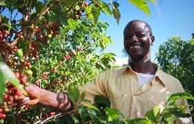
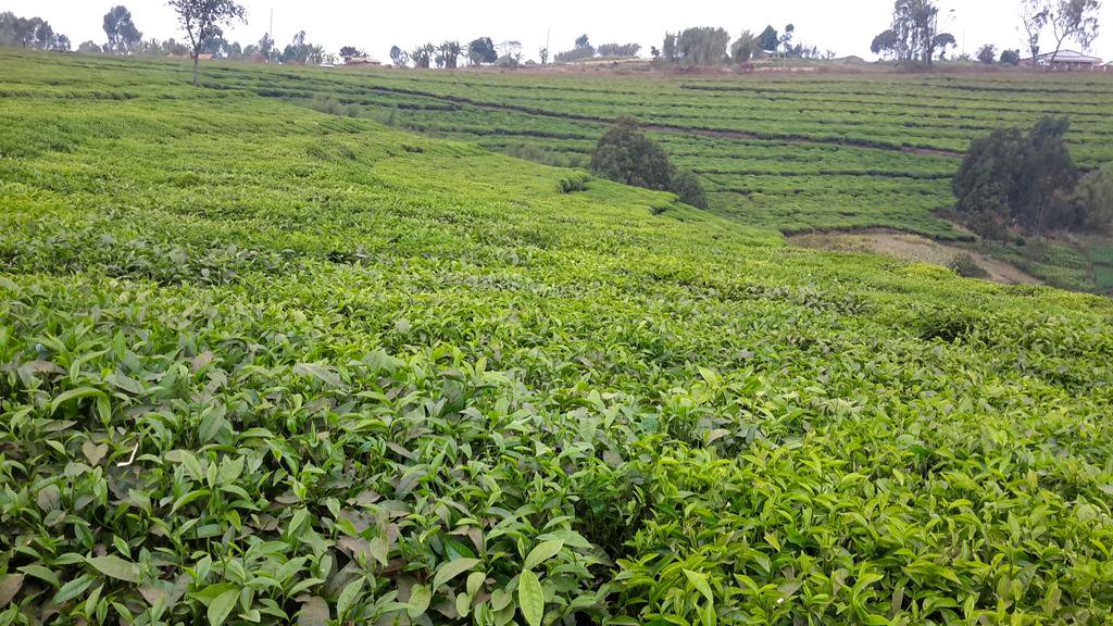
In terms of land use, Burundi has 35.05% of arable land and 14.02% of land containing permanent crops. Agriculture provides over 94% of employment and more than 50% of the Gross Domestic Product (GDP) of Burundi. In addition, the agricultural sector supplies 95% of the nation’s food needs and over 90% of its export earnings. Food crops, primarily for consumption by the rural families that grow them, cover 90% of cultivated land; industrial crops (coffee, tea, cotton, and sugarcane) cover 10%. However, industrial crops bring in over 80% of Burundi’s foreign exchange earnings. Therefore, the agricultural sector is the sector with the naturally highest growth potential – for both traditional and no traditional products.
Among the food crops cultivated in Burundi are bananas, sweet potatoes, cassavas, beans, sorghum and maize.
The other axis of the Burundian agricultural policy was the promotion of export crops, mainly coffee, and to a lesser extent, tea, cotton, sugar, palm oil, pyrethrum and tobacco. Coffee is the main export crop of Burundi. It is grown in most of the country, mainly on family-type farms.
Climate
Elevation is a major factor in Burundi’s climate, greatly moderating its tropical character. The country’s generally high elevation produces relatively cool temperatures, which average only about 70 °F (21 °C) throughout the year in the central plateau area and usually drop to below 60 °F (15 °C) at night. At lower elevations the annual average is only slightly higher—for example, at Bujumbura in the Imbo valley. Annual precipitation, which averages 60 to 70 inches (1,500 to 1,800 mm) in the highest-lying areas, is only about 40 inches (1,000 mm) on the shores of Lake Tanganyika. There is a short dry season from May to August.
Land
Burundi is bounded by Rwanda to the north, Tanzania to the east and south, Lake Tanganyika to the southwest, and the Democratic Republic of the Congo to the west.
Relief and drainage
Burundi’s topography includes the eastern flank of the Western Rift Valley. A chain of mountains and high plateaus formed from ancient Precambrian rock rises to 9,055 feet (2,760 metres) at Mount Heha, the country’s highest point. In the northwest the narrow Imbo valley extends southward from Rwanda to Lake Tanganyika and includes the Rusizi River, which separates Burundi from the Democratic Republic of the Congo. Farther south and west, along the shores of Lake Tanganyika, the land rises steeply to form part of the Congo-Nile divide, which reaches elevations of 8,500 feet (2,600 metres). East of the divide, plateaus slope gently to elevations of 5,000–6,000 feet (1,500–1,800 metres) to the southeast; the Ruvyironza River flows northeast, cutting through the plateaus. A few valleys and shallow lakes occupy the northern frontier near Rwanda.
Soils
Light, forest-derived soils predominate, forming a thin layer of humus over lateritic (iron-rich) subsoils. The best soils are formed from alluvium, but they are confined primarily to the lower portions of larger river valleys. Soil erosion, caused by a combination of steep slopes and frequent rainfall, is a serious problem and creates a major constraint on agriculture; ironically, erosion is further exacerbated by the clearing of land for agricultural purposes.
Plant and animal life
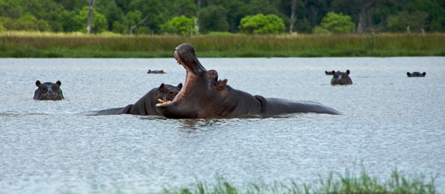
The natural forest vegetation has almost entirely disappeared from the landscape and is limited now primarily to higher mountain slopes. On the plateaus, wooded savanna is found at higher elevations, giving way to more-open savanna on the lower slopes. Poaching has dealt a severe blow to the country’s wildlife. The elephant population has virtually disappeared, leaving only warthogs, baboons, and antelope as the less endangered species.
Culture
Burundi is one of the very few African countries with a sense of “linguistic homogeneity.” Its people all speak the same national language: Kirundi. French is the first foreign language and English is progressively becoming more important. Swahili is also spoken in urban areas and along the Tanganika Lake.
The vast majority of Burundi citizens are Christian (75%), around 20% Burundians follow African religions with a few percent being Muslim. The major ethnic groups are Hutu (84%), Tutsi (14%) and Twa (1%).
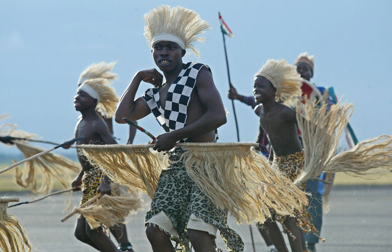
Burundi’s culture is based on local traditions and the influence of neighboring countries. The culture of Burundi includes mainly songs, dances, stories and legends. Poetry is sometimes recited during social gatherings.
The shepherds have their own pastoral songs which they sing at the end of the day when leading the animals back from the pastures; and in the home the elders tell the young generation stories and legends relating the life of their ancestors.
Art in Burundi is extremely varied. Crafts are an important art form in Burundi. Basket weaving is a popular craft for Burundian artisans. Other crafts such as masks, shields, statues and pottery are made in Burundi.
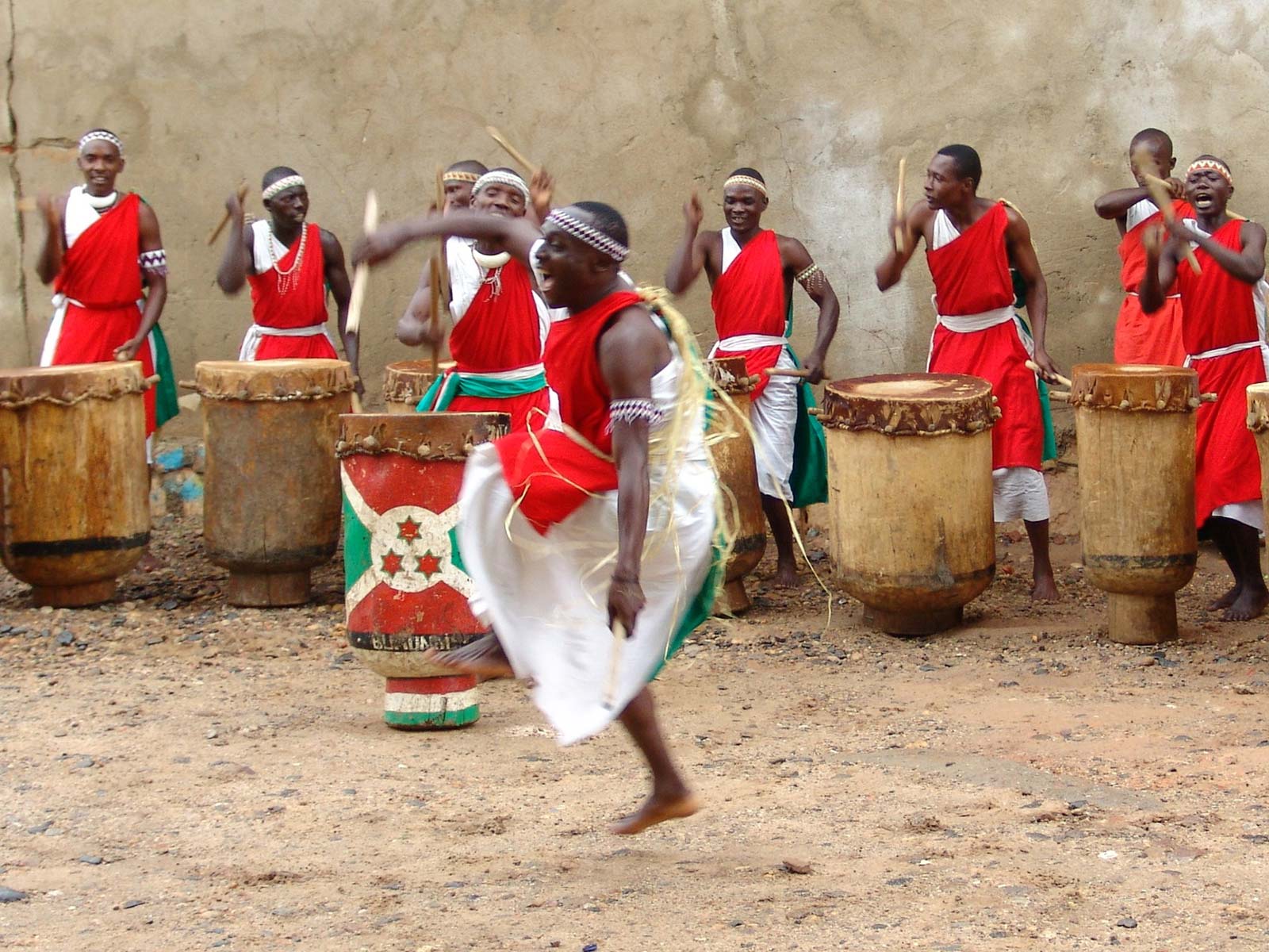
Drums play a big part in the music of most African countries, but in Burundi they have an almost spiritual meaning. The world-famous Royal Drummers of Burundi, who have performed for over forty years, are noted for traditional drumming using the karyenda, amashako, ibishikiso, and ikiranya drums. Dance often accompanies drumming performance, which is frequently seen in celebrations and family gatherings.
Staple foods in Burundi are various potatoes, bananas, beans, and sometimes fish.
Cities
Burundi is sub-divided into 18 provinces and 129 communes.
Neighboring Countries – : Burundi shares a border with Tanzania (451 km) to its east, the Democratic Republic of Congo (233 km) to its west, and Rwanda (290 km) to its north.